HDWX Products
Radar & Satellite
- Local radar mosaic
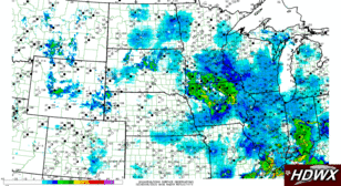
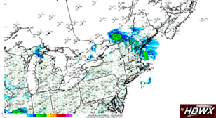
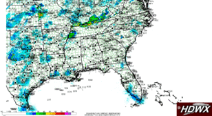
- Regional radar mosaic
- National radar mosaic
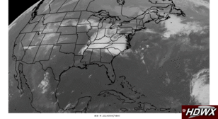
- Regional IR (B/W)
- National IR (B/W)
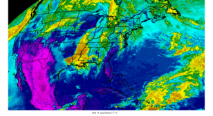
- National IR (Color)
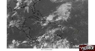
- Tropical IR (B/W)
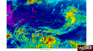
- Tropical IR (color)
- Local 1-km VIS
- Regional VIS
- National visible
- Tropical Visible
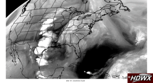
- National water vapor
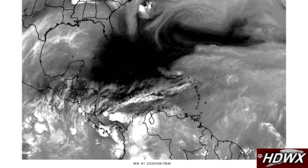
- Tropical Water Vapor
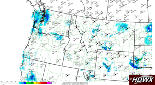
- NW regional radar mosaic
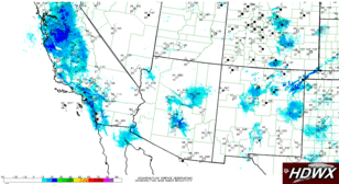
- SW regional radar mosaic
- NC regional radar mosaic
- NE regional radar mosaic
- SE regional radar mosaic
- SW regional VIS
- NW regional VIS
- NC regional VIS
- NE regional VIS
- SE regional VIS
- GRK base radar reflectivity
- HGX base radar reflectivity
- FWS base radar reflectivity
- ADRAD 0.5 km Reflectivity CAPPI
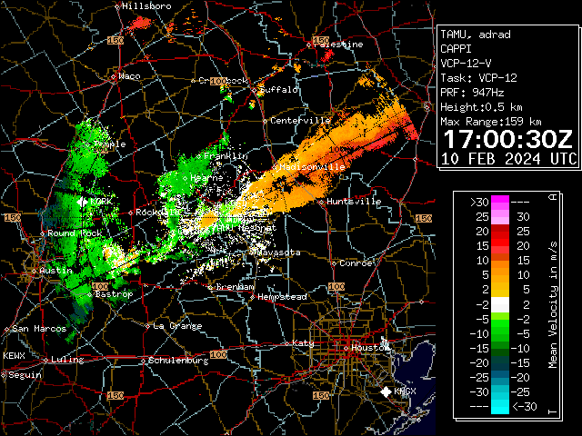
- ADRAD 0.5 km Velocity CAPPI
- ADRAD 0.5 degree Survey Scan Reflectivity
- ADRAD VAD Wind Profile
GFS
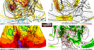
- Forecast 4-Panel
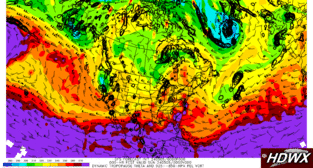
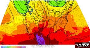
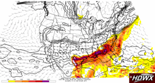
- 850-hPa temperature, heights, winds
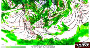
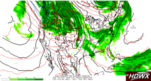
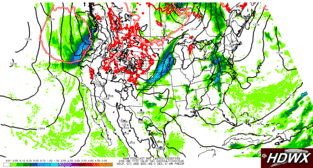
- SLP, 700-hPa RH, and 1000--500-hPa thickness
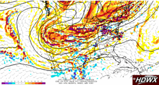
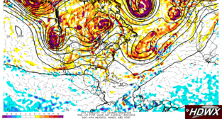
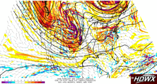
- 500-hPa vorticity, heights, winds
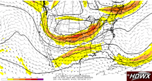
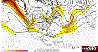
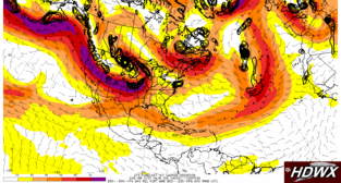
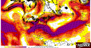
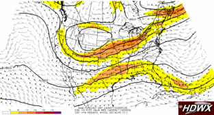
- 250-hPa isotachs, heights, winds
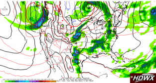
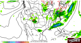
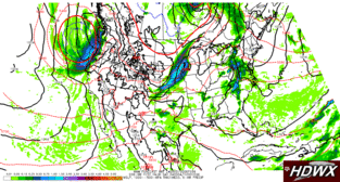
- SLP, 6-hr precip, 1000--500-hPa thickness
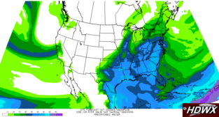
- Precipitable water
- DT Theta; low-level rel. vorticity
- Tropical: SLP, 700-hPa RH, and 1000--500-hPa thickness
- Tropical: 500-hPa vorticity, heights, winds
- Tropical: 250-hPa isotachs, heights, winds
- 850-500-hPa relative vort. & 850-200 hPa avg wnd
- SLP, 6-hr precip, 0 degree C lines at surface and 850 mb
- 850-500-hPa relative vort. & 850-200-hPa shear
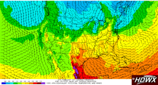
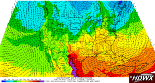
- 1000-hPa equivalent potential temperature and winds
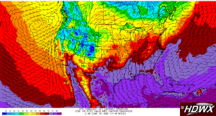
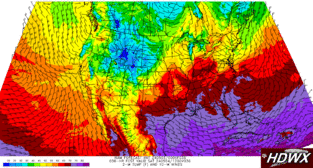
- GFS Surface Temperature / Winds
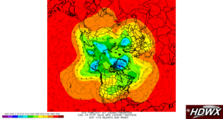
- 500mb Height Northern Hemisphere
NAM
- NAM 4-Panel
- 850-hPa temperatures, heights, and winds
- SLP, 700-hPa RH, and 1000--500-hPa thickness
- 500-hPa vorticity, heights, winds
- 250-hPa isotachs, heights, winds
- SLP, 6-hr precip, 1000--500-hPa thickness
- MLCAPE, 0-6 km shear
- SLP, 6-hr precip, 0 degree C lines at surface and 850 mb
- 1000-hPa equivalent potential temperature and winds
- NAM Surface Temperature / Winds
SREF1
SREF2
GEFS
NWS
TAMUWRF
- Simulated 1-km reflectivity
- 700mb RH
- Precipitable Water
- Surface-based CAPE
- 2-m Dewpoint Temperature
- 2-m Temperature, 10-m Winds, MSLP
- 1000 mb theta-e
- Cloud Fraction 4-panel
- Lifting Condensation Level
- 0-1 km Storm-Relative Helicity
- 0-3 km Storm-Relative Helicity
- Freezing Levels and Critical Thickness
- 850 mb Temperature
- 500 mb Absolute Vorticity
- 250 mb Winds
- 0-6 km Bulk Wind Difference
CloudCams
GFS (Python)
- GFS 2m Temperature, 10m winds, surface MSLP
- GFS Simulated Composite Reflectivity
- GFS Simulated 1km AGL Reflectivity
- GFS 4-Panel
- GFS 500 hPa Heights, Winds, Vorticity
- GFS 250 hPa Heights, Winds, Isotachs
- GFS 850 hPa Heights, Winds, Temperatures
- GFS 700 hPa Relative Humidity, MSLP, 1000-500 hPa Thickness
- GFS 2m Dew Point, 10m winds, surface MSLP
NAM (Python)
- NAM 2m Temperature, 10m winds, surface MSLP
- NAM Simulated Composite Reflectivity
- NAM Simulated 1km AGL Reflectivity
- NAM 4-Panel
- NAM 500 hPa Heights, Winds, Vorticity
- NAM 250 hPa Heights, Winds, Isotachs
- NAM 850 hPa Heights, Winds, Temperatures
- NAM 700 hPa Relative Humidity, MSLP, 1000-500 hPa Thickness
- NAM 2m Dew Point, 10m winds, surface MSLP
NAM NEST (Python)
- NAM NEST 2m Temperature, 10m winds, surface MSLP
- NAM NEST Simulated Composite Reflectivity
- NAM NEST Simulated 1km AGL Reflectivity
- NAM NEST 4-Panel
- NAM NEST 500 hPa Heights, Winds, Vorticity
- NAM NEST 250 hPa Heights, Winds, Isotachs
- NAM NEST 850 hPa Heights, Winds, Temperatures
- NAM NEST 700 hPa Relative Humidity, MSLP, 1000-500 hPa Thickness
- NAM NEST 2m Dew Point, 10m winds, surface MSLP
HRRR (Python)
- HRRR 2m Temperature, 10m winds, surface MSLP
- HRRR Simulated Composite Reflectivity
- HRRR Simulated 1km AGL Reflectivity
- HRRR 4-Panel
- HRRR 500 hPa Heights, Winds, Vorticity
- HRRR 250 hPa Heights, Winds, Isotachs
- HRRR 850 hPa Heights, Winds, Temperatures
- HRRR 700 hPa Relative Humidity, MSLP, 1000-500 hPa Thickness
- HRRR 2m Dew Point, 10m winds, surface MSLP
ECMWF-HRES (Python)
Radar & Satellite (Python)
NOAA (Python)
© College of Arts & Sciences

